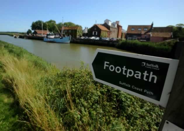
The River Alde
With its source in Laxfield (Great Pub there – The Low House, see our post under Eat & Drink), Initially a stream, it becomes tidal and widens considerably when it reaches Snape. It meanders East past Aldeburgh (You must go there!) after which this part of the river was named. The river then becomes known as the River Ore as it approaches Orford where it once entered the sea; however the mouth of the river has now been pushed some five miles further south as shingle has accumulated over hundreds of years after which it splits to form Havergate Island and is joined by its tributary, the Butley River, before reaching the sea at Shingle Street
The lower reaches of the river passes through marshland and shingle or sand beaches. The shingle spit that blocks the river, Orford Ness is now some 10 miles in length and is owned by the National Trust. The main area through which the River Alde flows is open countryside in private ownership, much of it arable farmland
Last Updated on May 20, 2014 by Carl Scott